SatMap: Satellite-guided HD maps for safer self-driving
SatMap in a nutshell
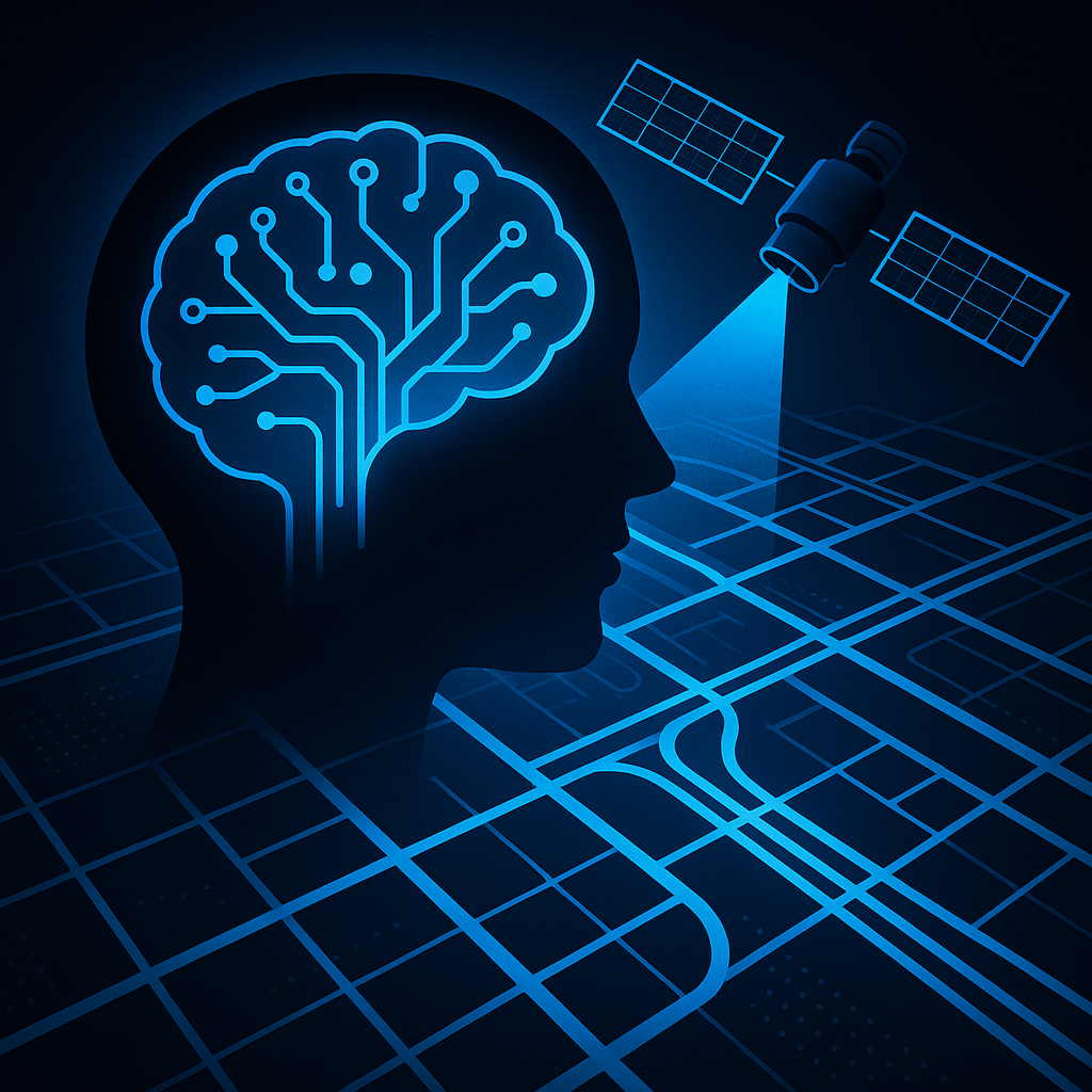
What if self-driving cars could borrow a bird’s-eye view? SatMap fuses multi-view camera feeds with satellite imagery to build online, vectorized HD maps that planning and prediction modules can use on the fly.
- Addresses camera limits like depth ambiguity and occlusion using lane-level semantics and texture from satellite maps as a global prior.
- Directly outputs a vectorized HD map from a BEV perspective.
- On the nuScenes benchmark: +34.8% mAP vs camera-only, +8.5% vs camera+LiDAR fusion; advantages persist at long range and in adverse weather.
Why it matters: more reliable situational awareness without depending solely on expensive, close-range sensors.
Paper: https://arxiv.org/abs/2601.10512v1
Code (coming soon): https://iv.ee.hm.edu/satmap/
Paper: https://arxiv.org/abs/2601.10512v1
Register: https://www.AiFeta.com
AutonomousDriving ComputerVision HDMaps SatelliteImagery BEV Robotics AI Mapping nuScenes SelfDriving