
Teaching AI to See Cities Socially from Space
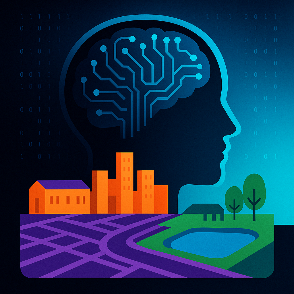
We often map what we can see—buildings, roads, rivers. But what about socially defined places like schools or parks? A new study introduces SocioSeg, a dataset that pairs satellite images with digital maps and pixel-level labels for social categories, organized hierarchically.
Built on top, SocioReasoner is a vision-language reasoning framework that “thinks” across images and text in multiple stages, using reinforcement learning to improve decisions. The result: stronger segmentation of social entities and impressive zero-shot generalization.
- Urban socio-semantic segmentation from satellite imagery
- Cross-modal recognition + multi-stage reasoning
- Outperforms state-of-the-art models
- Open dataset and code for researchers and cities
From pixels to places people care about.
Explore the paper: https://arxiv.org/abs/2601.10477v1
Code & data: https://github.com/AMAP-ML/SocioReasoner
Paper: https://arxiv.org/abs/2601.10477v1
Register: https://www.AiFeta.com
#AI #ComputerVision #RemoteSensing #UrbanPlanning #GIS #VisionLanguageModels #Segmentation #OpenData #OpenSource #SatelliteImagery