AutonomousDriving
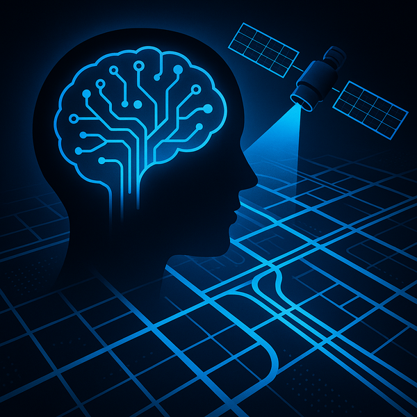
SatMap: Satellite-guided HD maps for safer self-driving
SatMap in a nutshell What if self-driving cars could borrow a bird’s-eye view? SatMap fuses multi-view camera feeds with satellite imagery to build online, vectorized HD maps that planning and prediction modules can use on the fly. * Addresses camera limits like depth ambiguity and occlusion using lane-level semantics and